
Chesterfield Township ZIP Code Coverage
Two postal ZIP codes are verified in township and state sources for Chesterfield Township: 48047 and 48051. Both use the New Baltimore post-office label in the research, while Chesterfield is an acceptable city label on relevant addresses. That does not split the township into two fixed postal zones. Postal coverage follows delivery needs, and the same ZIP can cross a municipal line. Exact edge parcels must be checked in USPS and on the county parcel map before a local record is assigned to Chesterfield Township.
| ZIP | Township connection | Postal label | Record-search caution |
|---|---|---|---|
| 48047 | Standard carrier ZIP serving portions of Chesterfield Township | New Baltimore, with Chesterfield acceptable on relevant mail | USPS result and parcel boundary control, not the city label alone |
| 48051 | Standard carrier ZIP serving portions of Chesterfield Township | New Baltimore, with Chesterfield acceptable on relevant mail | Confirm the specific parcel because postal coverage is not a township line |
The research did not verify a PO-box-only or unique Chesterfield Township ZIP, and it did not establish 48042 as township coverage. Some non-government boundary maps put 48042 near an edge, but that is not enough to publish it as a Chesterfield ZIP. This ZIP code directory therefore keeps the verified pair and preserves the edge-parcel gap.
USPS Checks for Chesterfield Township ZIPs
USPS ZIP Code Lookup is the first check for a current delivery address. It offers a search by address, a city-and-state search, and a cities-by-ZIP search. The address result is routing evidence. USPS expressly warns that it does not confirm a person or company at the returned address. Use it to spell and format the address for the next public-record search, not to identify an occupant.
| Company | Optional field for a delivery-address search. |
|---|---|
| Street address | Required address field; enter the exact delivery street and number. |
| Apt, suite, or other | Optional detail that can distinguish a unit within a shared parcel. |
| City, state, and ZIP | City and state identify the place; ZIP can refine a known address. |
The official USPS lookup interface is shown on the USPS address and ZIP service.
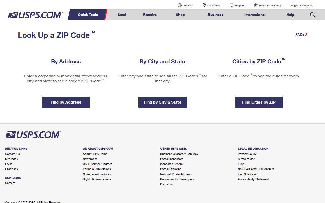
After USPS returns a result, retain the returned city label as a postal clue and proceed to the parcel tools for government jurisdiction. Note: A correctly formatted ZIP can route mail while still leaving the township boundary unresolved.
New Baltimore Labels in Chesterfield Township
The local postal-city mismatch is the most useful Chesterfield address quirk. Township mailers use both 48047 and 48051, while postal conventions can return New Baltimore for an address governed by Chesterfield Township. The reverse can also occur: a Chesterfield mailing label is not proof that a parcel belongs to the township. Keep the government name, postal city, and ZIP in separate columns when comparing deeds, tax records, and historic references.
Chesterfield Township covers 30.7 square miles in northeast Macomb County, with Anchor Bay and a broad set of subdivisions. That scale helps explain why an address search may move among postal labels, community names, parcel descriptions, and township records. A postal city is useful for delivery and historical searching, but not for assigning jurisdiction.
Chesterfield Township ZIP Search Limits
The township assessor confirms three property search keys: owner name, property address, and parcel number. The captured instructions do not document a ZIP filter, so a ZIP-wide assessor result should not be promised. The BS&A property search is useful after USPS narrows an exact street address or when an owner or parcel is already known. Keep mailing address and situs address separate if both appear.
The BS&A Online property-search screen is the local assessment interface reached after an exact Chesterfield Township address has been confirmed.
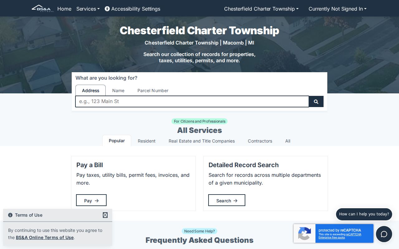
The screen supports the address-to-parcel step, but the captured research does not document a ZIP filter. An exact address, owner name, or parcel number remains necessary for that portal.
Macomb GIS advertises address, tax-ID, intersection, community, and E911 All Known Address tools, not a ZIP search field. Its property-address search accepts full or partial street information and an optional Community field. For best results, the county guide says not to use RD, DR, AVE, BLVD, or CT suffixes. A ZIP search can therefore narrow a postal clue, but GIS does the parcel and address-point work.
The QVF request form can be scoped to a township, county, precinct, district, school, village, or ward, but the captured form does not document a ZIP scope. There is no support here for claiming a ZIP-wide voter list. Sensitive voter fields remain exempt under MCL 168.509gg.
Read a Chesterfield Township ZIP Result
A postal result has three parts worth preserving: the delivery address, the postal city returned by USPS, and the five-digit ZIP. Those fields help find the right parcel, but neither the city label nor the ZIP settles the government jurisdiction. Compare an exact address against the township boundary in Macomb GIS, then open the related property record. If the parcel is not in Chesterfield Township, the same postal ZIP still may be valid, but the assessment and local-record custodian will be different.
For a Chesterfield Township parcel, record the situs address, parcel ID, and mailing address in separate notes. The situs is the physical location. The parcel ID connects the property roll to the map. A mailing address may be an owner’s correspondence location, an agent, or another arrangement, and it does not prove that the owner occupies the parcel. The legal description, such as a subdivision lot and block, becomes the stronger title key when an address is abbreviated, old, or shared by multiple units.
USPS, the assessor, GIS, and the Register of Deeds form a sequence rather than competing answers. USPS verifies routing. GIS matches a point to a parcel. The assessment record reports current tax-roll information. The deed index supplies the recorded transfer and legal-description layer. Each system has a defined role in the Chesterfield Township ZIP code directory.
Find Records From a Chesterfield Township ZIP
Use the ZIP code directory as a short route from a delivery address to the correct record keeper. It is not a ZIP-wide people list. A useful result is a verified address, parcel, or jurisdiction. Once the address is narrowed, separate current tax ownership from occupancy and distinguish a property location from a tax-notice mailing address.
- Enter the complete delivery address in USPS and record its returned postal city and ZIP.
- Search the street in Macomb GIS with the Community or All Known Address tools, then select the matching address point or parcel.
- Use the parcel ID, exact address, or owner name in Chesterfield BS&A to examine the assessment record.
- For a public voter-record question, use the lawful personal-status or QVF-request channel by documented geography, not an assumed ZIP filter.
When the ZIP has reduced the search to a named road, the Chesterfield Township street directory has the fuller parcel, deed, and address workflow. Keeping the postal layer separate prevents an address label from being mistaken for a boundary or a resident record.
Three Chesterfield Township Address Keys
Postal ZIP, situs address, and legal description are separate identifiers. A situs address identifies the physical parcel. A mailing address is where tax notices or owner correspondence go and can differ from the property location. A legal description identifies the lot, block, subdivision, or metes-and-bounds tract used in title work. Macomb GIS links the street address to a parcel or tax ID, while the Register of Deeds relies on the legal-description layer for an effective staff search.
This distinction matters near Anchor Bay and subdivision lines, where a map label or postal city can be shorthand rather than the legal jurisdiction. A QVF residential address is a registration address, and a separate voter mailing address may exist. None of these fields should be merged into a single claim about a person’s current residence.
For older or multi-unit locations, an exact road name alone may not resolve the record. The GIS All Known Address search can use a full or partial E911 address and may reveal an address point beneath one tax parcel. Use the optional Community or Property Name information only when the map returns a matching result. A unit label is an address clue, not a public roster of the people connected to it.
Older Chesterfield Township Address Geography
Older Chesterfield Township addresses may have no modern ZIP, unit label, or familiar postal-city form. For a historic address, use the street, lot, subdivision, or legal description, then compare it with the Library of Michigan’s Macomb holdings. The research identifies a 1875 Combination Atlas Map, a 1916 Standard Atlas, and a 1956 Farm Plat Book as useful historical geography sources. Those materials can clarify road and subdivision continuity when a present-day ZIP search fails.
Historic directories are generally organized by city, county, or title rather than ZIP. Search nearby title cities such as New Baltimore or Mount Clemens as appropriate, then compare the result to the parcel trail. The date on the volume matters, and an old listing does not establish current residence.
Chesterfield Township ZIP Boundaries
ZIP code boundaries are delivery routes, not city-limit lines. Use Chesterfield Township for the government jurisdiction and use Chesterfield or New Baltimore only when USPS returns the postal label. A search that starts with a ZIP should finish with a parcel boundary, assessment record, or legal description. The ZIP code directory cannot establish township jurisdiction, ownership, or household membership by itself.
- ZIP and ZIP+4
- The five-digit ZIP identifies a delivery area; the added four digits narrow mail sorting for a smaller address group.
- PO-box ZIP
- A ZIP used for post-office boxes rather than ordinary carrier delivery addresses.
- Unique ZIP
- A ZIP assigned to one large organization or destination. No verified Chesterfield example was found.
- Carrier route
- A mail-delivery sequence inside a ZIP area. It is a routing tool, not a municipal boundary.
Exact edge addresses deserve a direct USPS check and a Macomb GIS parcel review. That two-source test preserves the difference between a postal result and the Chesterfield Township record that follows.