
Find Chesterfield Township Streets
A Chesterfield Township street directory follows address-keyed records in order. Start with the physical address and parcel. The property roll may identify the current tax-roll owner, but that is not proof of who is presently at the address. GIS adds the parcel shape, address point, and nearby context. The Register of Deeds then connects the parcel or legal description to a recorded transfer. A voter record or reverse directory can add a registration or historical listing, but neither is a complete household roster.
- Run the street address in Chesterfield Township’s BS&A property route and note the owner name, parcel number, and site address separately.
- Search the same address or parcel in Macomb GIS, using the Community choice if useful and omitting a street suffix for the property-address query.
- Preserve the parcel’s legal description or lot and block before opening the recorder search.
- Use the deed index to identify grantor, grantee, recording date, instrument, and document reference for a matching transfer.
- For a past period, ask a library for a criss-cross or Polk street listing, then compare that listing to the matching year.
Note: Keep a separate line for each parcel because a street address, a unit address, and a recorded legal description can describe different record keys.
Search Chesterfield Township Street Parcels
Chesterfield Township’s assessor page links free assessment information through BS&A. Local sales-study instructions confirm search modes by owner name, property address, and parcel number. They then direct users to Property & Land search and to Land Information for the ECF Neighborhood Code. These verified keys make the assessor the opening step for a street directory workflow. The source does not establish an exact live list of every output field, so do not assume a displayed mailing address, exemption flag, sketch, or value label without checking the individual card.
| Parcel-search item | Verified Chesterfield Township use |
|---|---|
| Owner name | Search key for the current tax-roll owner; use spelling variants. |
| Property or site address | Search key for the physical parcel on a Chesterfield Township street. |
| Parcel number | Search key and cross-reference for GIS and county land records. |
| Property & Land search | Navigation named in township sales-study instructions. |
| Land Information | Result area containing the ECF Neighborhood Code. |
The Chesterfield Township property-information page is the official route to the assessment search.
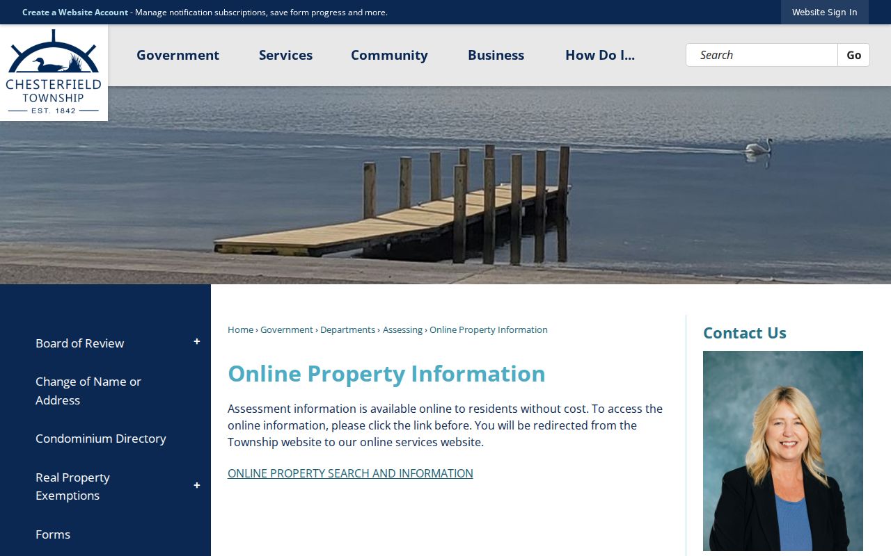
That entry page identifies the local assessor channel before an address is joined to county GIS or recorder data.
The BS&A Online search screen is the linked parcel-search interface for Chesterfield Township.
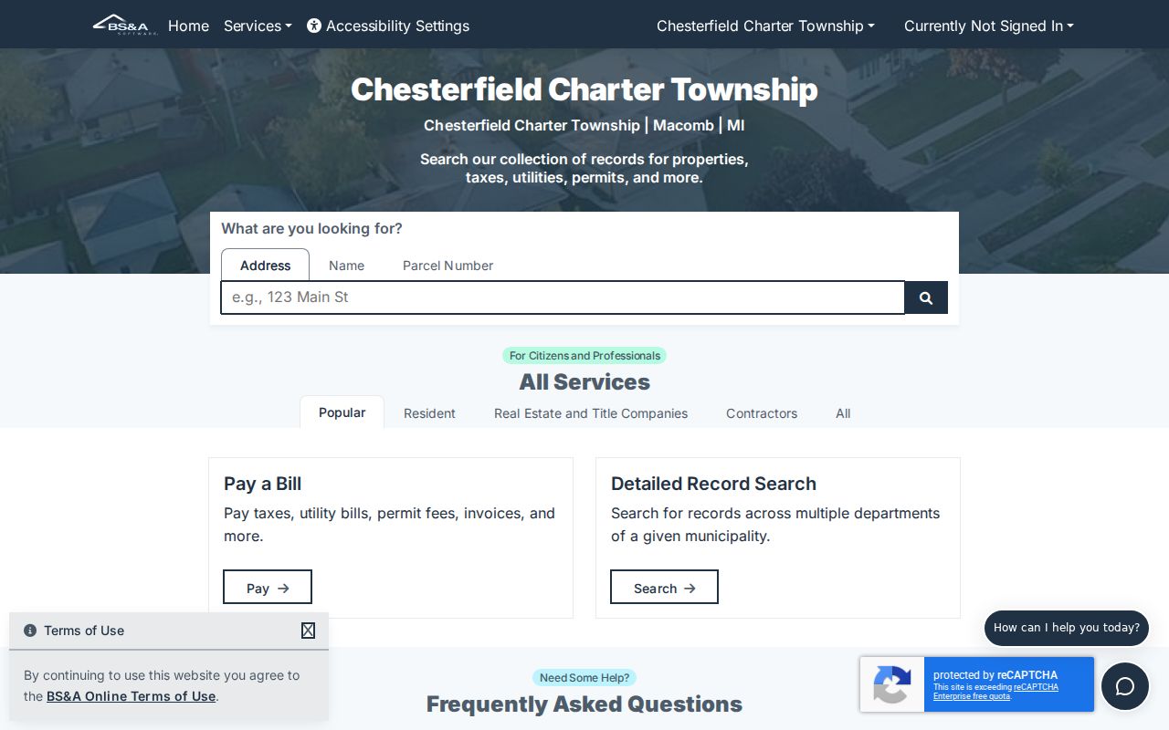
Use an assessment result as an ownership lead. A nonmatching tax mailing address may reflect an agent, trustee, estate representative, or mailing preference, and it does not establish residence.
Map Chesterfield Township Street Addresses
Macomb County’s Comprehensive Mapping Service supplies the detailed street-browse layer. Its guide documents property-address and tax-ID searches, Find Intersection, Identify, address-point queries, selection, buffer, print, and export tools. Search Tax Parcels by Property Address accepts a full or partial address and optional Community. The county says not to use suffixes such as RD, DR, AVE, BLVD, or CT for the best property-address result. When one street number appears uncertain, the GIS result and selected parcel ID are stronger than a text-only search.
| GIS query | Inputs | Street-directory result |
|---|---|---|
| Property Address | Full or partial address, optional Community | Site-address match and selected map feature |
| Tax ID | Full or partial Sidwell or tax ID | Parcel selection and attributes |
| All Known Address | Address, optional Community and Property Name | E911 address points, including units under one parcel |
| Find Intersection | Two street names | Red-diamond map result and automatic zoom |
| Identify | Feature layer and map click | Highlighted feature, attributes, and selection index |
| Buffer from selection | Selected parcel, target theme, distance | Features near the parcel perimeter |
GIS does not promise a current owner field in every map result. Use the selected ID and then confirm owner or transfer information through BS&A and the Register of Deeds. The guide also allows printing or exporting selected features, but an exported map selection remains location context, not a list of everyone on a street.
Read Chesterfield Township Street Units
The All Known Address query is an important local street-directory detail. It searches the county E911 address database and supports optional Community and Property Name filters for apartments, condominiums, and mobile-home parks. The address-points layer must be selected for results to appear. A parcel search can collapse several unit locations into one tax parcel, while the E911 layer may return unit-level address points. Record the unit label, situs, and parcel ID as separate fields rather than treating them as a single name-and-address answer.
This broader map layer still has limits. A separate address point does not disclose every person connected to that address. Use it to refine location, identify an address form, or locate a parcel that needs a recorder or assessor check. It is particularly helpful when a street directory search returns a shared parcel or a unit number that the tax roll does not present as a standalone parcel.
Follow Chesterfield Township Street Deeds
Macomb’s Register of Deeds turns the street directory into a title trail. Begin with the parcel and legal description, not a street name alone. The free basic service is the stated easiest online document search. The advanced subscription service adds searching by address, legal description, parcel ID, and name. For a matching transfer, note the grantor, the person or entity transferring an interest, and the grantee, the recipient named in the instrument. Also preserve the recording date, instrument type, document number or liber and page, and legal description.
The Macomb Register of Deeds search-options page explains the basic, advanced, terminal, mail, and staff-search channels.
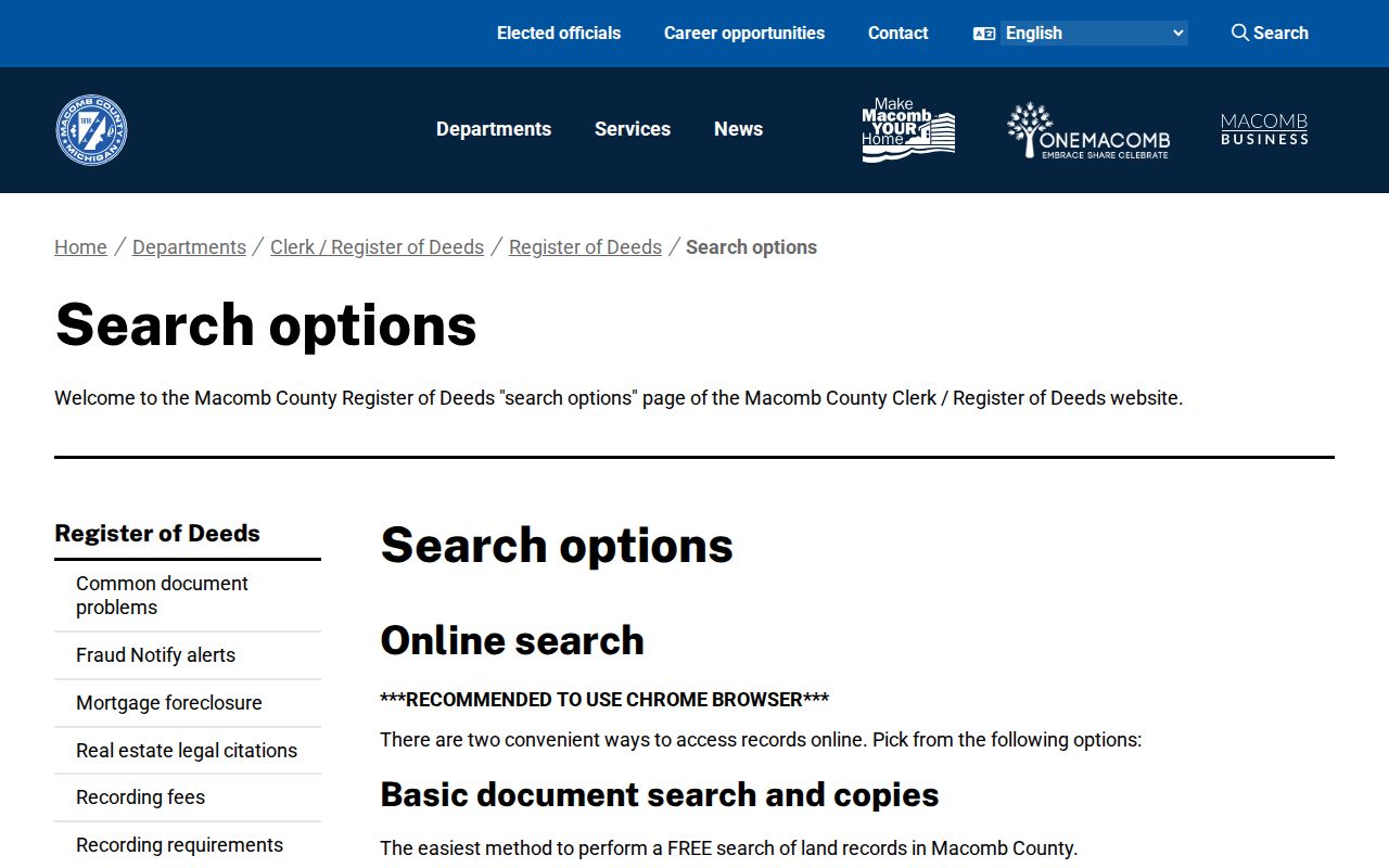
The county route is useful when an address has to be linked to a legal description before a past transfer can be checked.
The basic Tyler land-record search is the free online entry point described by the county.
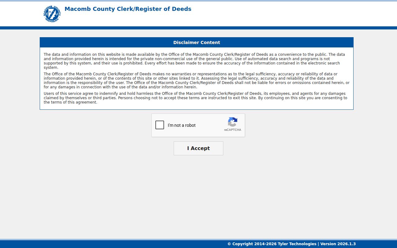
Basic search can lead to a document purchase, which the county lists at $6, while the index itself is a starting point rather than a residence finding.
The advanced Tyler search path provides the subscription route for address, legal-description, parcel-ID, and name searching.
Advanced access is listed at $25 for 24 hours, $75 for one week, or $250 for one month, with per-document charges that decrease by term. When online searching fails, use free office terminals, a written mail search, or a staff search for $5 plus $1 per copied page. The county does not state the earliest online index year, so confirm older book coverage with the office.
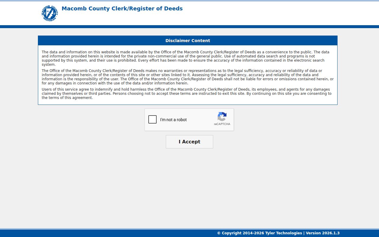
Note: Tyler’s public disclaimer limits the data to private noncommercial use and prohibits automated data searches, so manual record review remains essential.
Check Chesterfield Township Street Permits
Building records can help date a change at a Chesterfield Township address. Building and Code Enforcement reviews plans, issues building, mechanical, electrical, and plumbing permits, and inspects construction and alterations. The permit page lists applications for items such as additions, decks, demolition, foundation repair, fences, seawalls, docks, and boat hoists. Inspection requests require an address, permit number, and inspection type; the next-day cutoff is 3:00 p.m. on the listed process.
A permit can relate to construction or repair and may name an applicant or contractor. It does not establish who occupied the address. No public township code-enforcement case index was located in the research. Ask Building and Code Enforcement whether an existing file can be searched by address or requested under Michigan FOIA, and request the precise record rather than a general list.
Compare Chesterfield Township Street Records
A street-directory result becomes more reliable when the address keys agree across record systems. The assessment parcel is the current property key. GIS supplies geometry, E911 address points, and map context. The recorder provides recorded parties and legal description. The QVF and older directories add limited registration or historical-listing evidence. Use access methods beyond the portal when a needed record is held only at a counter, in a library collection, or in an existing municipal file.
| Address record | What it can show | Access |
|---|---|---|
| Assessment or parcel card | Tax-roll owner, site address, parcel ID, and Land Information | Free BS&A, assessor counter, phone, or FOIA |
| Macomb GIS | Parcel geometry, E911 address points, Community, and nearby selections | Public map with identify, buffer, print, and export |
| Recorded deed index | Grantor, grantee, date, instrument, legal description, and copies | Basic or advanced search, terminal, mail, or staff search |
| Permit or planning file | Work, inspections, land-use or subdivision context | Permit hub, counter, or existing-record request |
| Historical street directory | Listed head of household in house-number order | Library, Library of Michigan, print, microfilm, or digital holdings |
| Public QVF process | Registered voter information subject to exemptions | Personal lookup or lawful written request |
The county GIS and township assessor provide different but complementary starting points. The precise property chain belongs in this Chesterfield Township street directory workflow, while a historic directory collection should be checked as a dated listing, not as a modern roll.
Use Chesterfield Township Street Voter Data
Michigan voter registration records are public through FOIA, but there is no documented public web table for browsing every Chesterfield Township street. The personal Michigan.gov/Vote service is for a voter’s own information. The public Qualified Voter File request form permits geographic selection by jurisdiction, county, district, school, village, ward, or precinct, and can include selected election history. A request for Chesterfield should name Charter Township of Chesterfield and use the appropriate Macomb County or precinct scope.
The public file can include a complete name, residential address, mailing address if available, year of birth, registration date, status, voter ID when requested, and voter history. MCL 168.509gg exempts phone, email, full birth date, signature, driver or state-ID number, and other sensitive fields. Registered voter information is not evidence of every current resident on a road, and election history does not reveal ballot choices.
Match Chesterfield Township Street Labels
Chesterfield Township’s street directory needs a postal-label check because official township materials use both 48047 and 48051, while USPS may return New Baltimore as the city label. The township is not the incorporated City of New Baltimore. A property can therefore have a Chesterfield Township jurisdiction, a New Baltimore postal label, and a different tax mailing address. Search the exact road and number, then use GIS and parcel information to determine jurisdiction rather than relying on the ZIP alone.
Chesterfield was established in 1842 and includes suburban subdivisions and Anchor Bay areas rather than an older incorporated-city grid. The research found no official township-wide street renumbering or readdressing event. Do not invent one. For a confusing road name, use GIS Find Intersection, township planning or zoning information, and the parcel’s legal description before deciding that two address forms are the same location.
Define Chesterfield Township Street Terms
Address records use several keys that look similar but serve different purposes. Keeping them distinct makes a Chesterfield Township street directory search easier to repeat and verify.
- Parcel
- A tax or land unit identified by an assessor or GIS number.
- Situs address
- The physical property address, distinct from a tax mailing address.
- Plat
- A recorded subdivision map that can identify lots, blocks, and street layout.
- Legal description
- The title description, often lot and block or metes-and-bounds, used to verify a deed chain.
- Criss-cross directory
- A historical street listing arranged by house number, often naming listed heads of household.
When a street search has more than one match, the parcel ID and legal description are the better tie-breakers. An address can be abbreviated, changed for postal use, or tied to several unit points under one parcel.
Limit Chesterfield Township Street Results
A street directory can show public property and recorded-document links, not a complete list of people at every address. The tax roll names owners and can include a separate mailing location. The QVF concerns registered voters and excludes protected fields. A historical criss-cross entry usually concerns a listed head of household. Restricted motor-vehicle records, utility accounts, delivery information, sealed and juvenile court files, and Address Confidentiality Program information are outside a public street search.
Lawful use. Chesterfield Township street records are for personal, lawful research. Confirm important findings with the custodian and never use an address or record to stalk, harass, intimidate, or harm a person.
The county’s own land-search disclaimer also asks users to judge accuracy, reliability, and legal sufficiency themselves. A street-by-street result should be described as an official record finding with a date and source, not as a claim that the record identifies every person who lives there.