
Chesterfield Township Neighbor Records
A block search begins with the physical parcel, then moves outward one record type at a time. Macomb GIS is the map layer. Chesterfield BS&A is the assessment layer. The Register of Deeds is the recorded-transfer layer. The public QVF process is a limited voter-record channel, while historic directories and community sources add dated local context. None of them is a complete list of everyone at an address. A parcel owner can be an estate, trust, company, or person whose mailing address is elsewhere.
| Block source | What it can establish | Access channel |
|---|---|---|
| Macomb GIS tax parcel | Parcel polygon, tax ID, address or community, selected attributes, and adjacent geometry | Public map with identify, buffer, print, and export tools |
| E911 All Known Address | Address points, including some unit locations sharing one parcel | GIS address query with address-point layer |
| Chesterfield BS&A | Tax-roll owner, assessment context, and mailing-versus-situs fields when shown | Free portal, assessor counter, phone, or defined FOIA request |
| Register of Deeds | Recorded transfers, adjacent-parcel owners, and legal descriptions | Free basic index, paid copies, terminal, mail, or staff search |
| QVF and local history | Limited registered-voter data or dated household clues | Lawful QVF request; library print, microfilm, or digital resources |
For Chesterfield Township neighbors, ownership is evidence of a property connection, not proof of occupancy. A voter record can be a registered-person clue, but it cannot establish every household member. A historic directory normally records only a listed household head and may be out of date. Keep the source, date, and what it actually says beside each block note.
Macomb GIS Around Chesterfield Township
Macomb GIS supports the actual nearby-parcel method. Search a property address or tax ID, use Identify on the selected parcel layer, and click the parcel. Its selection index can display selected themes or features and offers ID, Print, Zoom To, and Clear. You can pan to adjoining polygons or use Selection Options and a buffer. A buffer from selection starts at the parcel perimeter, then applies the chosen target theme and distance.
Map adjacency is not necessarily the same as a shared block face or mailing route. Verify the active parcel or address layers and zoom in before treating a parcel as nearby. The GIS guide also supports a buffer from point with a selected radius. Use the map to identify parcels, then use BS&A or a recorded document to verify the owner associated with each parcel.
Chesterfield Township Neighbor Address Points
For units, condos, mobile-home parks, or multi-address parcels, use the GIS All Known Address search instead of relying only on the tax-parcel address. It searches the county E911 address database. Select the address-points layer, then use the optional Community and Property Name filters when they fit the location. This can reveal unit labels that one tax parcel collapses into a single property record.
Unit address points still need careful interpretation. A point can be tied to one parcel, and an address match does not name an occupant. Store the unit label separately from the parcel ID and test the result against the assessment record or lawful historical source. The map’s property-address search works best without RD, DR, AVE, BLVD, or CT suffixes, according to the county guide.
Map Chesterfield Township Neighbors
The most defensible neighbor process follows the parcel boundary before it follows a name. Start with one exact address, identify the selected parcel, and make a list of the adjoining parcels returned by map geometry. For each parcel, preserve the site address, tax ID, and legal description as separate facts. Only then compare the assessment and recorded document layers. This process keeps a Chesterfield Township neighbor question from turning into an unsupported guess about a household.
- Locate the address or tax ID in Macomb GIS, enable the relevant address or parcel layer, and use Identify on the selected feature.
- Pan to touching parcels or run a parcel-perimeter buffer, then record each result from the Selection Index.
- Use Chesterfield BS&A to check current tax-roll ownership and keep the tax mailing field distinct from the situs address.
- Confirm a recorded ownership change with the Register of Deeds by legal description, lot, block, or parcel rather than a similar street name.
A Principal Residence Exemption or homestead indicator can support an owner-occupancy inference, but it is not conclusive and can lag. For a whole named road rather than the immediate block, the Chesterfield Township street directory provides the broader address-record sequence.
Voter Records for Chesterfield Township Neighbors
Michigan voter registration records are public through the QVF process, but they are not a free street-browse table. The personal Michigan voter tool is for status, polling place, and related voter services. A broader public request uses the state QVF form and selects one geography, such as the Charter Township of Chesterfield, Macomb County, a district, a school, a ward, or a precinct. ZIP is not a documented request scope in the captured form.
A public QVF file may include a complete name, residential address, mailing address when available, year of birth, registration date, voter status, voter ID, and requested history. It excludes full date of birth, phone, email, signature, driver or state-ID number, and other protected fields under MCL 168.509gg. Delivery is by encrypted flash drive, established FTP, mail, or pickup, not ordinary email. Ask the Department of State for an estimate because the form does not give a flat fee.
A block question does not justify requesting more than the source can answer. Choose the smallest lawful geography and omit optional history unless it serves a real civic or historical question. An active, challenged, or verify status is a voter-file status, not a statement about a person’s daily presence at an address. Public voter records and parcel records overlap at addresses, but they are kept for different purposes and update on different schedules.
Election participation history is not ballot-choice history. A protected address or a missing match should not be treated as proof that a person is absent from a Chesterfield Township block.
Lottivue and Chesterfield Community Context
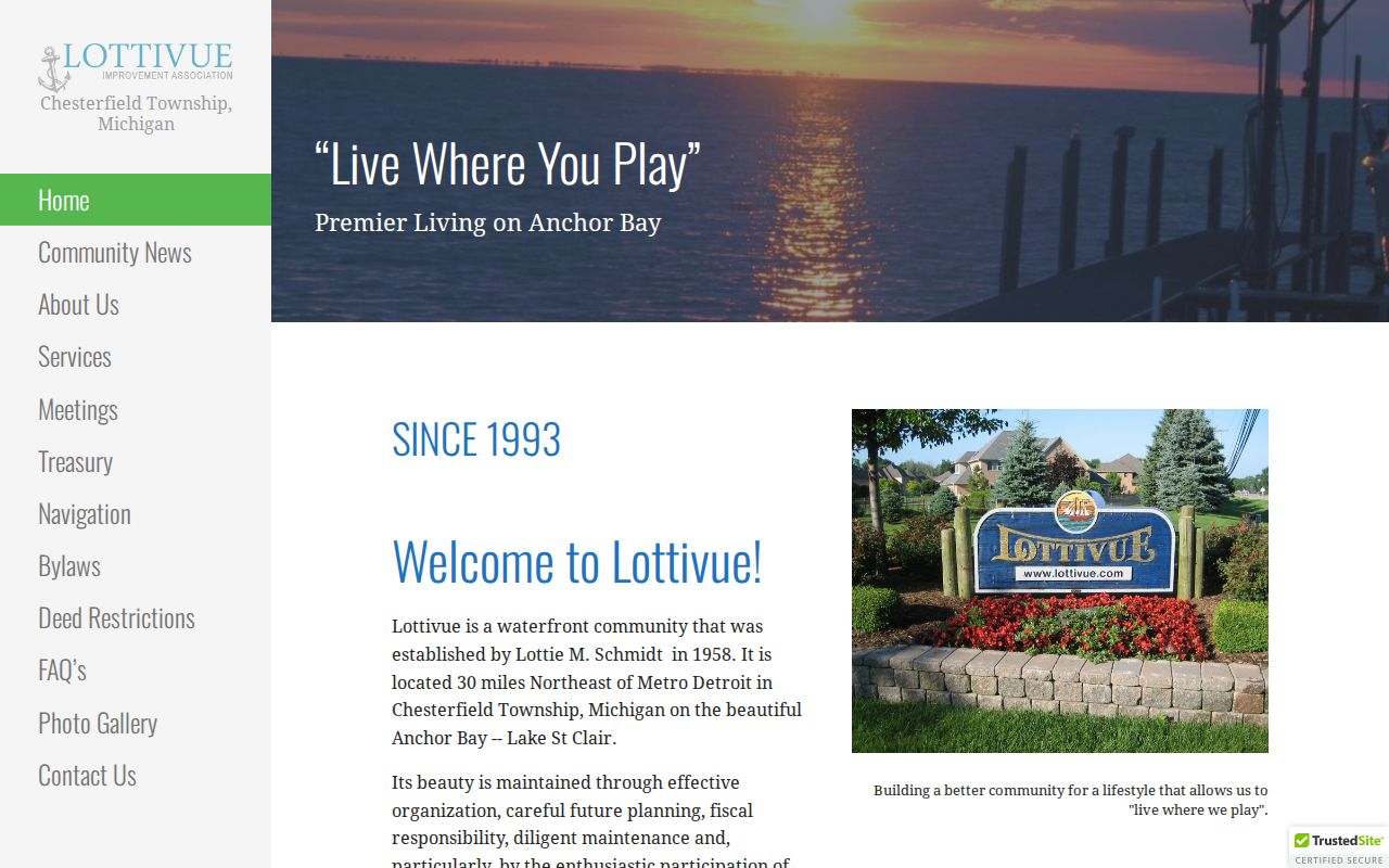
No official township-wide neighborhood-association directory was located. The verified local community source is the Lottivue Improvement Association, which describes its role in maintaining the Lottivue subdivision community. Its captured public information does not provide a member roll. Treat it as a way to understand a named subdivision and public community contact, not as evidence about who lives in a particular household.
The public Lottivue association page provides the documented community layer for this Chesterfield Township neighbors search.
Township Planning and Zoning, CivicWeb minutes, the library, and the county condominium navigation can add subdivision or project names, but no captured source supports claiming a public township-wide association roster.
Chesterfield Township Library is the permanent repository for the Historical Society collection through its 2008 partnership. Its Trinity and Anchor Bay materials include local history, census information, digitized historical records, and the Chesterfield Review collection. Ask the library about access limits and a defined address, subdivision, or date range. A library clipping, photograph, map, or directory can provide historical context for a block, but it remains a dated source rather than proof of a present household.
Lottivue Improvement Association
Public community identity and contact context for the Lottivue subdivision. The captured site does not publish a household roster.
Chesterfield Township Library
The Trinity collection, local digital records, and Historical Society partnership can supply dated community context through library access channels.
Chesterfield Township Block Permit Clues
Building and code records can date construction, alterations, demolition, repairs, or a change in a property’s use. The Chesterfield Building and Code Enforcement page confirms online applications and form links. It does not document a public searchable case index. For an existing record, use the address, permit number, work type, and date range in a defined request rather than assuming a web search will return every file.
The township permit portal shows the online application and inspection channels.
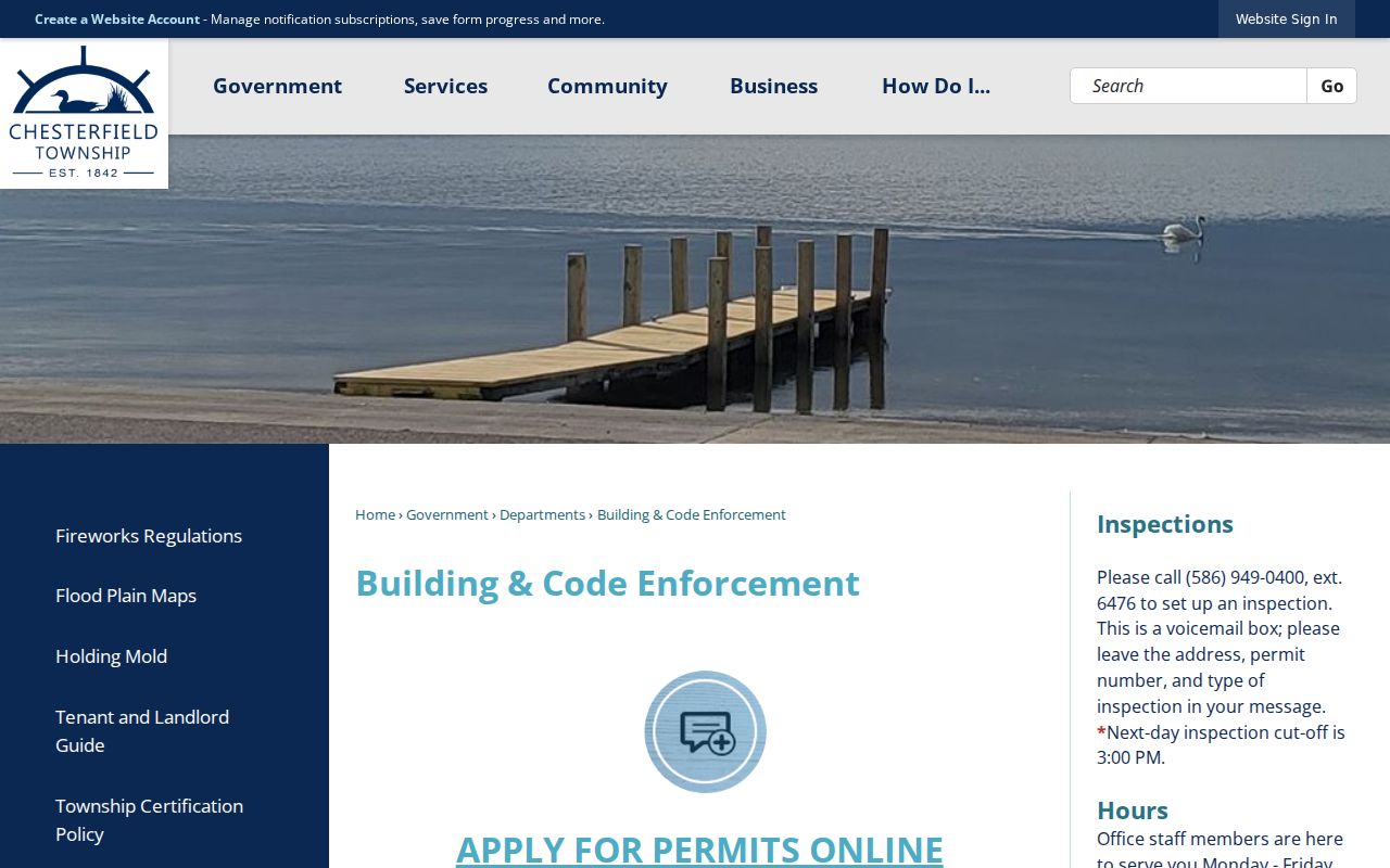
A permit applicant, owner, or contractor does not establish who occupied the address. Inspection requests use the address, permit number, and inspection type, and the research lists a 3:00 p.m. cutoff for a next-day inspection request.
Limits on Chesterfield Township Neighbor Lookup
Some block information is private by design. Public records do not produce a roster of every non-owner resident, child, or other household member. Michigan’s Address Confidentiality Program can shield a qualifying address. DMV data, utility accounts, delivery records, private association membership, sealed cases, and protected voter fields are not block-directory sources. A missing record can reflect a protected address, a change in residence, or a record that does not collect the field.
| Official record approach | Commercial neighbor tools |
|---|---|
| Shows a defined source, date, custodian, and documented limits. | Can combine public, address, and marketing information with opaque source dates. |
| Requires a parcel, case, voter, or recorded-document question. | Can be stale, overinclusive, or wrong about household membership. |
| Supports a narrow verification task. | Does not replace a parcel, lawful voter, or court record. |
Use a narrow record request when a public document is needed. A Michigan FOIA request should identify the office, existing record type, address or parcel, and date range. It cannot compel an agency to assemble a complete private profile of a block.
Source minimization protects both accuracy and privacy. A parcel question may end with the assessment record. A question about a recorded transfer may end with the Register of Deeds image. If an address trail becomes protected, stale, or ambiguous, stop rather than combining unrelated name matches. For a possible error, use the correction channel of the office that maintains the record instead of contacting a person based on uncertain information.
Lawful use. Use Chesterfield Township neighbor records for a personal, lawful purpose such as understanding a property, genealogy, or community history. Watching, harassing, or intimidating another person can violate Michigan law.